![]()
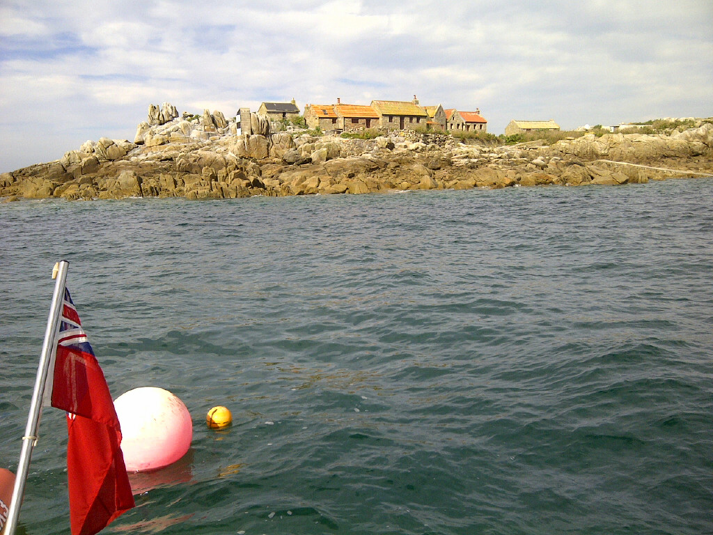
An amazing group of rocks which at high tide looks like a few very small islands and rocks and yet at low tide covers an area almost the size of Jersey.
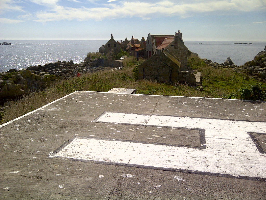
Part of the Bailiwick of Jersey, the main island has a few houses on it and is famous for having the southernmost public toilet in the British Isles.
Some amazing lagoons form at low tide, but beware as the sand banks move throughout the season.
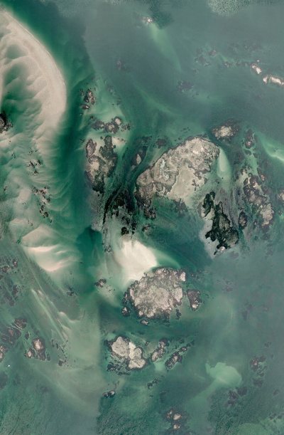
In the middle is Maitresse Ile which has the houses and the toilet on it. There is a passage from the South East into the lagoon below the Island.
There is a passage from the North marked on the charts however beware as the charts are not up to date. In particular the sand banks move considerably and the sand bank to the NW of the photo has moved a lot further to the East. This has effectively blocked a through passage to the North unless it is half tide and above.
The latest Navionics charts appears to be quite accurate for the rocks, but not for the sand banks.
If anyone has any more pictures or details of how to visit Les Minquiers, please can they e-mail them to info@digimap.gg?
Guide
www.guidemanche.com/rubrique.php3?id_rub…
Wikipedia
en.wikipedia.org/wiki/Minquiers
Birds
www.jerseybirds.co.uk/lesminquiers.shtml
www.jerseyseafaris.com/destinations/les-…


